File:'The_Castle'_Wisbech_-_geograph.org.uk_-_1589388.jpg
From Wikipedia, the free encyclopedia
No higher resolution available.
'The_Castle'_Wisbech_-_geograph.org.uk_-_1589388.jpg (640 × 480 pixels, file size: 75 KB, MIME type: image/jpeg)
| This is a file from the Wikimedia Commons. Information from its description page there is shown below. Commons is a freely licensed media file repository. You can help. |
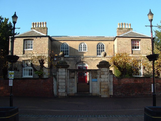
This is a photo of listed building number 1229170. |
Summary
| Description'The Castle' Wisbech - geograph.org.uk - 1589388.jpg |
English: 'The Castle' Wisbech |
| Date | |
| Source | From geograph.org.uk |
| Author | Paul Shreeve |
| Attribution (required by the license) InfoField | Paul Shreeve / 'The Castle' Wisbech / |
InfoField | Paul Shreeve / 'The Castle' Wisbech |
| Camera location | 52° 39′ 50″ N, 0° 09′ 38″ E | View this and other nearby images on: OpenStreetMap |
|---|
| Object location | 52° 39′ 50″ N, 0° 09′ 37″ E | View this and other nearby images on: OpenStreetMap |
|---|
Licensing

|
This image was taken from the Geograph project collection. See this photograph's page on the Geograph website for the photographer's contact details. The copyright on this image is owned by Paul Shreeve and is licensed for reuse under the Creative Commons Attribution-ShareAlike 2.0 license.
|
This file is licensed under the Creative Commons Attribution-Share Alike 2.0 Generic license.
Attribution: Paul Shreeve
- You are free:
- to share – to copy, distribute and transmit the work
- to remix – to adapt the work
- Under the following conditions:
- attribution – You must give appropriate credit, provide a link to the license, and indicate if changes were made. You may do so in any reasonable manner, but not in any way that suggests the licensor endorses you or your use.
- share alike – If you remix, transform, or build upon the material, you must distribute your contributions under the same or compatible license as the original.
Captions
Add a one-line explanation of what this file represents
Items portrayed in this file
depicts
some value
15 November 2009
52°39'50.08"N, 0°9'38.16"E
52°39'50.40"N, 0°9'37.08"E
image/jpeg
24156c64ef2c60144756745cb272f002eef2d103
76,812 byte
480 pixel
640 pixel
File history
Click on a date/time to view the file as it appeared at that time.
| Date/Time | Thumbnail | Dimensions | User | Comment | |
|---|---|---|---|---|---|
| current | 23:01, 3 March 2011 | | 640 × 480 (75 KB) | GeographBot | == {{int:filedesc}} == {{Information |description={{en|1='The Castle' Wisbech}} |date=2009-11-15 |source=From [http://www.geograph.org.uk/photo/1589388 geograph.org.uk] |author=[http://www.geograph.org.uk/profile/20403 Paul Shreeve] |permission= |other_ve |
File usage
The following pages on the English Wikipedia use this file (pages on other projects are not listed):
Global file usage
The following other wikis use this file:
- Usage on de.wikipedia.org
- Usage on it.wikipedia.org
- Usage on sv.wikipedia.org
- Usage on www.wikidata.org