File:ČSSR-mapa.png
From Wikipedia, the free encyclopedia
Size of this preview: 800 × 427 pixels. Other resolutions: 320 × 171 pixels | 640 × 341 pixels | 1,189 × 634 pixels.
Original file (1,189 × 634 pixels, file size: 21 KB, MIME type: image/png)
| This is a file from the Wikimedia Commons. Information from its description page there is shown below. Commons is a freely licensed media file repository. You can help. |

|
This map image could be re-created using vector graphics as an SVG file. This has several advantages; see Commons:Media for cleanup for more information. If an SVG form of this image is available, please upload it and afterwards replace this template with
{{vector version available|new image name}}.
It is recommended to name the SVG file “ČSSR-mapa.svg”—then the template Vector version available (or Vva) does not need the new image name parameter. |
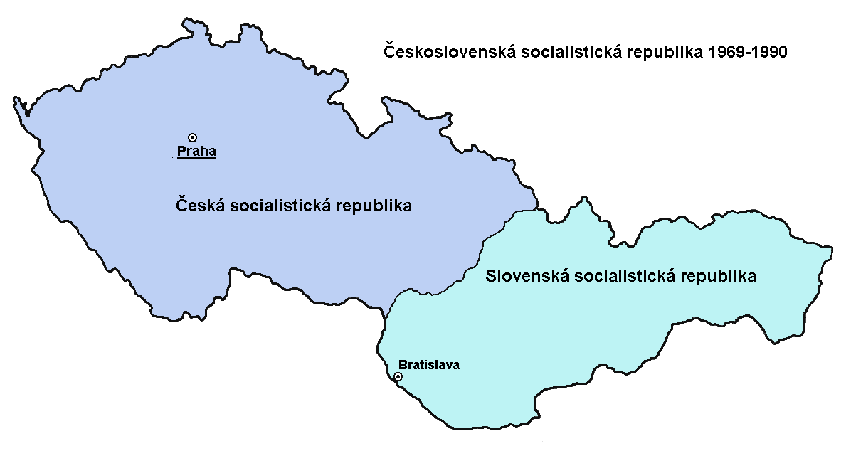
Map of Czechoslovakia (modified image  , translated by me)
derivative works
Derivative works of this file: CSSR-mapa.svg
| Public domainPublic domainfalsefalse |
| |
This work has been released into the public domain by its author, PANONIAN, at the English Wikipedia project. This applies worldwide. In case this is not legally possible: |
Captions
Add a one-line explanation of what this file represents
Items portrayed in this file
depicts
File history
Click on a date/time to view the file as it appeared at that time.
| Date/Time | Thumbnail | Dimensions | User | Comment | |
|---|---|---|---|---|---|
| current | 21:06, 12 October 2007 | | 1,189 × 634 (21 KB) | Aktron | Map of Czechoslovakia (modified image 100px, translated by me) Category:Maps of Czechoslovakia {{PD-user-w|en|Wikipedia|PANONIAN}} |
File usage
No pages on the English Wikipedia use this file (pages on other projects are not listed).
Global file usage
The following other wikis use this file:
- Usage on cs.wikipedia.org
- Usage on de.wikipedia.org
- Usage on sk.wikipedia.org
Retrieved from "https://en.wikipedia.org/wiki/File:ČSSR-mapa.png"