ስዕል:La_Réunion_department_relief_location_map.jpg
From Wikipedia, the free encyclopedia
ዋና ፋይል (1,037 × 964 ፒክስል፤ መጠን፦ 244 KB፤ የMIME ዓይነት፦ image/jpeg)
ይህ ፋይል ከWikimedia Commons የተቀሰመ ነው እና በሌላ ዊኪ ላይ ሊጠቅም ይችላል። በhttps://commons.wikimedia.org/wiki/File:La_R%C3%A9union_department_relief_location_map.jpg ላይ የሚገኘው የፋይሉ መግለጫ ከዚህ በታች ቀርቧል።
ማጠቃለያ
| Camera location | 21° 07′ 30″ S, 55° 31′ 30″ E | View this and other nearby images on: OpenStreetMap |
|---|
| ማጠቃለያLa Réunion department relief location map.jpg |
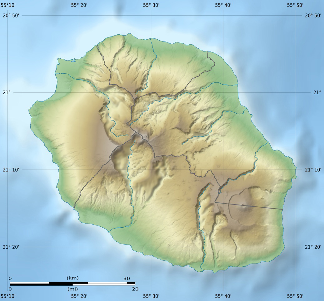
English: Blank physical map of the region and department of Réunion, France, for geo-location purpose.
Français : Carte physique vierge de la région et département de La Réunion, France, destinée à la géolocalisation. Scales: 1:372,000 (precision: 93 m) for the topography; 1:3,760,000 (precision: 940 m) for the bathymetry
Geographic limits of the map:
|
||
| ቀን | |||
| ምንጭ |
Own work
|
||
| አቅራቢው | Eric Gaba (Sting - fr:Sting) | ||
| የማብዛት ፈቃድ (Reusing this file) |
|
||
| ሌሎች ዕትሞች |
Derivative works of this file: Circus maillardi distribution 1973-1975.png
|

የፈቃድ አይነት፦
- You are free:
- to share – to copy, distribute and transmit the work
- to remix – to adapt the work
- Under the following conditions:
- attribution – You must give appropriate credit, provide a link to the license, and indicate if changes were made. You may do so in any reasonable manner, but not in any way that suggests the licensor endorses you or your use.
- share alike – If you remix, transform, or build upon the material, you must distribute your contributions under the same or compatible license as the original.

|
Permission is granted to copy, distribute and/or modify this document under the terms of the GNU Free Documentation License, Version 1.2 or any later version published by the Free Software Foundation; with no Invariant Sections, no Front-Cover Texts, and no Back-Cover Texts. A copy of the license is included in the section entitled GNU Free Documentation License.http://www.gnu.org/copyleft/fdl.htmlGFDLGNU Free Documentation Licensetruetrue |
Captions
Items portrayed in this file
depicts እንግሊዝኛ
creator እንግሊዝኛ
some value
copyright status እንግሊዝኛ
copyrighted እንግሊዝኛ
inception እንግሊዝኛ
ማርች 2009
source of file እንግሊዝኛ
21°7'30.000"S, 55°31'30.000"E
የፋይሉ ታሪክ
የቀድሞው ዕትም ካለ ቀን/ሰዓቱን በመጫን መመልከት ይቻላል።
| ቀን /ሰዓት | ናሙና | ክልሉ (በpixel) | አቅራቢው | ማጠቃለያ | |
|---|---|---|---|---|---|
| ያሁኑኑ | 14:00, 18 ጁላይ 2010 | | 1,037 × 964 (244 KB) | Sting | Color profile |
| 15:06, 23 ማርች 2009 |  | 1,037 × 964 (218 KB) | Sting | == Summary == {{Location|21|07|30|S|55|31|30|E|scale:500000}} <br/> {{Information |Description={{en|Blank physical map of the department of Réunion, France, for geo-location purpose.}} {{fr|Ca |
መያያዣዎች
የሚከተለው ገጽ ወደዚሁ ፋይል ተያይዟል፦
ሌሎች ውኪዎች
የሚከተሉት ሌሎች ውኪዎች ይህን ፋይል ይጠቀማሉ፦
- Usage on als.wikipedia.org
- Usage on ar.wikipedia.org
- Usage on ast.wikipedia.org
- Usage on az.wikipedia.org
- Usage on be.wikipedia.org
- Usage on bg.wikipedia.org
- Usage on bs.wikipedia.org
- Usage on ceb.wikipedia.org
- Usage on ce.wikipedia.org
- Usage on ckb.wikipedia.org
- Usage on cs.wikipedia.org
- Usage on da.wikipedia.org
- Usage on de.wikipedia.org
- Usage on de.wikivoyage.org
- Saint-Denis (Réunion)
- Cilaos
- Saint-Pierre (Réunion)
- Saint-Leu (Réunion)
- Flughafen Réunion Roland Garros
- Le Port (Réunion)
- Le Tampon
- Saint-Paul (Réunion)
- Piton de la Fournaise
- Saint-Gilles-Les-Bains
- Diskussion:Piton de la Fournaise
- Modul:Location map data re
- Modul:Location map data re/Doku
- Saint-Philippe (Réunion)
- Usage on dsb.wikipedia.org
- Usage on el.wikipedia.org
- Usage on en.wikipedia.org
View more global usage of this file.
ተጨማሪ መረጃ
ይህ ፋይል በውስጡ ተጨማሪ መረጃ ይይዛል። መረጃውም በዲጂታል ካሜራ ወይም በኮምፒውተር ስካነር የተጨመረ ይሆናል። ይህ ከኦሪጂናሉ ቅጅ የተለወጠ ከሆነ፣ ምናልባት የመረጃው ዝርዝር ለውጦቹን የማያንጸባረቅ ይሆናል።
| አቀማመጥ | መደበኛ |
|---|---|
| አድማሳዊ ማጉላት | 72 dpi |
| ቁም ማጉላት | 72 dpi |
| የተጠቀመው ሶፍትዌር | Adobe Photoshop 7.0 |
| ፋይሉ የተቀየረበት ቀንና ሰዓት | 11:00, 18 ጁላይ 2010 |
| Color space | Uncalibrated |